London
 UK
UK Ireland
 Scotland

Utilistics Utility Surveys
Address
2 Bridge Street
Athlone
Westmeath
Leinster
N37 F1W4
Ireland
About Utilistics Utility Surveys
Utilistics delivers end‑to‑end utility surveys solutions across Ireland, providing fast, accurate topographic, utility, drone, laser scanning, and engineering survey data to support confident planning, design, and construction.
To understand our work, you must first see how the chaos of modern utilities gives rise to a discipline of accuracy, innovation, and uncompromising detail
Our Vision
Our vision set industry benchmarks delivering innovative, sustainable, and reliable utility survey solutions.
Our Mission
Provide efficient utility surveys
Maintain strict quality control
Prioritise safety & best result
Build long-term partnerships
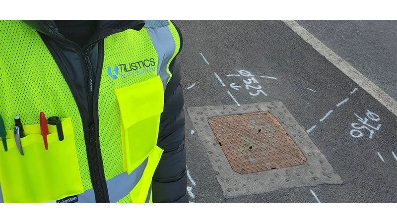
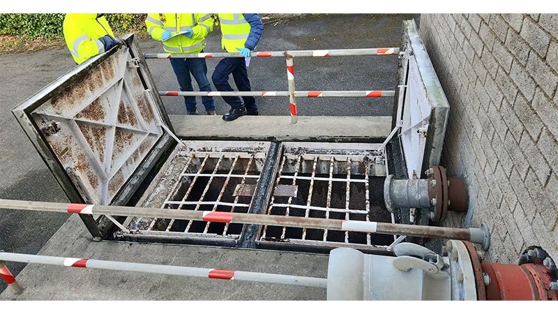
Underground Utility Surveys
Underground Utility Surveys map subsurface infrastructure using Ground Penetrating Radar (GPR), radio‑detection, and complementary geophysical techniques. These results are integrated with land survey control to produce accurate 2D/3D drawings, models, reports, or on‑site mark‑ups of buried utilities.
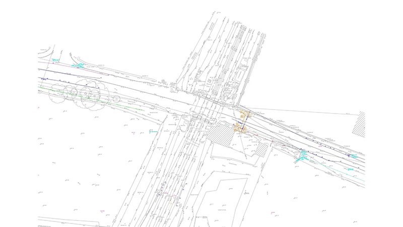
Topographic surveys
Topographic surveys provide accurate, true‑to‑scale representations of natural and built environments. Using a combination of terrestrial, mobile, and aerial technologies, we capture all visible features and ground levels to produce detailed maps, drawings, models, and 3D datasets. These features are presented using contours, spot levels, symbols, and structured annotation to support design, planning, and engineering workflows.
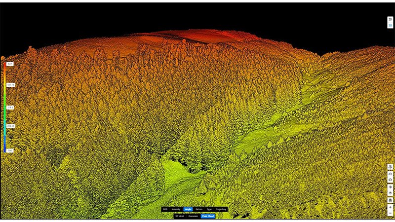
Drone Surveys
Drone (UAV) Surveys capture high‑resolution aerial data using photogrammetry, LiDAR, or hybrid payloads. This data is processed into accurate maps, orthophotos, 3D models, and point clouds, enabling efficient surveying of large, complex, or inaccessible areas.
Engineering Surveys
Engineering Surveys provide precise spatial control, monitoring, and measurement services to support construction, infrastructure development, and asset management. Our workflows ensure accuracy, compliance, and traceability throughout the project lifecycle, from initial site establishment to final as‑built verification.
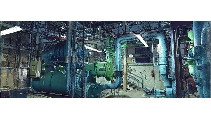
Laser Scanning
Laser Scanning uses advanced LiDAR technology to capture millions of precise 3D measurements, generating highly accurate digital representations of buildings, structures, utilities, landscapes, and complex environments. This rich spatial data forms the foundation for engineering design, BIM modelling, digital twins, asset management, and condition assessment.
Gallery
Location Map